It’s looking like a quieter summer for coastal residents this year. On May 21, 2026, National Oceanic and Atmospheric Administration (NOAA) dropped its official forecast for the 2026 Atlantic hurricane season, predicting a below-normal activity level with a 55% probability. The agency expects between 8 and 14 named storms, driven largely by a nearly certain development of El Niño conditions that will churn up vertical wind shear across the basin.
But here’s the catch: "below normal" doesn’t mean "no risk." It only takes one storm making landfall to ruin a summer. While the numbers look lower than recent active years, the potential for major hurricanes remains real, and preparedness shouldn't slip just because the odds are in your favor.
The Numbers Behind the Forecast
NOAA’s Climate Prediction Center broke down the expectations into three categories. They see a 55% chance of a below-normal season, a 35% chance of near-normal activity, and just a 10% chance of an above-normal season. Specifically, they predict 3 to 6 hurricanes (winds ≥74 mph) and 1 to 3 major hurricanes (Category 3-5, winds ≥111 mph).
This aligns closely with independent forecasts. On April 26, 2026, Dr. Philip J. Klotzbach, Director of Seasonal Forecasting at Colorado State University, released his team's projection. They anticipate 13 named storms—slightly under the 1991-2020 average of 14.4—and 6 hurricanes. Their Accumulated Cyclone Energy (ACE) index is projected at roughly 75% of the long-term average, signaling a less energetic season overall.
Other institutions chime in with similar ranges. The University of Pennsylvania predicted 7-13 named storms on April 21, while North Carolina State University forecasted 12-15 on April 22. Even Mexico’s Servicio Meteorológico Nacional saw 11-15 storms. The consensus is clear: El Niño is the boss this year.
Why El Niño Changes Everything
So, why the lull? It comes down to ocean temperatures and atmospheric circulation. We’re currently transitioning from weak La Niña conditions to what forecasters expect will be a moderate or strong El Niño. This shift increases vertical wind shear—the change in wind speed or direction with height—in the tropical Atlantic and Caribbean.
Think of wind shear like a lawnmower cutting through grass. If the blades are too aggressive, they chop off the tops of developing storms before they can organize. Despite warmer-than-normal sea surface temperatures in the western tropical Atlantic (which usually fuel storms), this shear acts as a suppressant. As Colorado State’s report noted, this robust El Niño will likely dominate tropical circulation during the peak season, inhibiting formation.
Interestingly, while the Atlantic might be quiet, the eastern Pacific is expected to be busy. NOAA predicts 15-22 named storms there, with a 70% chance of above-normal activity. Nature tends to balance itself out; when one basin sleeps, another often wakes up.

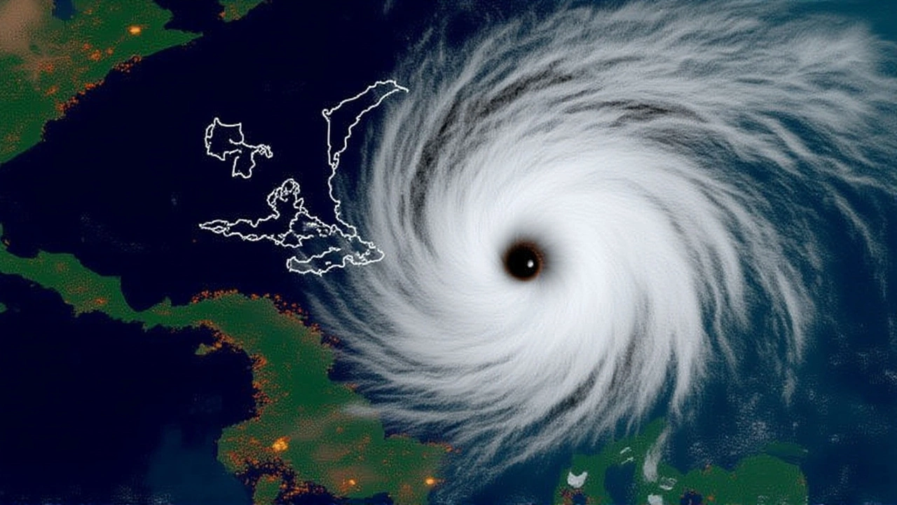
Landfall Risks Remain Real
Don’t let the low numbers fool you. The National Hurricane Center, based in Miami, Florida, emphasized that location matters more than total count. A single Category 4 hurricane hitting a populated coast causes catastrophic damage, regardless of whether it’s the 2nd or 12th storm of the season.
Here’s how the landfall probabilities stack up against historical averages (1880-2020):
- Continental U.S. Coastline: 32% chance of at least one major hurricane landfall (vs. 43% average).
- U.S. East Coast (including Florida peninsula): 15% probability (vs. 21% average).
- Gulf Coast (Florida Panhandle to Brownsville): 20% probability (vs. 27% average).
These percentages are lower than usual, but they’re far from zero. For communities from Cedar Key, Florida, to Brownsville, Texas, the threat is still present. NOAA officials reminded viewers during their May 21 webinar that "even though we're expecting a below average season... this does not say anything about where the storms that do form might go."

What Comes Next?
The official Atlantic hurricane season runs from June 1 to November 30, 2026, with peak activity typically occurring between mid-August and late October. That’s when the El Niño effects should be strongest. As of May 22, there were no active tropical cyclones in the Atlantic, giving meteorologists a clean slate to start monitoring.
Forecasters will update their models as the season progresses. The next NOAA Hurricane Webinar Series is scheduled for June 2026, which will provide crucial updates on sea surface temperatures and El Niño strength. If the El Niño develops faster or stronger than expected, activity could dip even further. If it stalls, we might see a bump in late-season storms.
For now, experts suggest staying vigilant but calm. Prepare your emergency kits, check your insurance, and keep an eye on the weather apps. A quieter season is good news, but it’s never time to hang up the storm shutters entirely.
Frequently Asked Questions
What causes a below-normal hurricane season?
A below-normal season is often caused by El Niño conditions, which increase vertical wind shear in the Atlantic. This wind shear disrupts the organization of tropical storms, preventing them from strengthening. Other factors include cooler-than-average sea surface temperatures and dry air intrusion from Africa.
Does a below-normal forecast mean I don't need to prepare?
No. Even in quiet seasons, a single storm can cause significant damage if it makes landfall. NOAA emphasizes that "it only takes one hurricane making landfall to make it an active season." Residents in coastal areas should maintain emergency plans and supplies regardless of the seasonal outlook.
How does El Niño affect the Pacific hurricane season?
While El Niño suppresses Atlantic activity, it typically enhances conditions in the eastern Pacific. Warmer waters and favorable wind patterns in the Pacific lead to increased storm formation. For 2026, NOAA predicts an above-normal season in the eastern Pacific with 15-22 named storms.
When is the peak of the 2026 Atlantic hurricane season?
The official season runs from June 1 to November 30, 2026. However, the peak period of activity usually occurs between mid-August and late October. This is when sea surface temperatures are warmest and atmospheric conditions are most conducive to storm development, despite the El Niño suppression.
Who are the key forecasters for the 2026 season?
Primary forecasts come from NOAA's Climate Prediction Center and Dr. Philip J. Klotzbach at Colorado State University. Other notable contributors include researchers from the University of Pennsylvania, North Carolina State University, and Mexico's Servicio Meteorológico Nacional. Each provides slightly different models but generally agrees on the El Niño impact.